Stanhope Burn beside the Mill
Introduction
The photograph on this page of Stanhope Burn beside the Mill by Robert Graham as part of the Geograph project.
The Geograph project started in 2005 with the aim of publishing, organising and preserving representative images for every square kilometre of Great Britain, Ireland and the Isle of Man.

There are currently over 7.5m images from over 14,400 individuals and you can help contribute to the project by visiting https://www.geograph.org.uk
Stanhope Burn beside the Mill
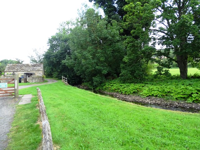
Image: © Robert Graham Taken: 13 Aug 2024
Stanhope Hall Mill is off to the left. The burn would have driven a mill wheel originally.
Images are licensed for reuse under creativecommons.org/licenses/by-sa/2.0
Image Location


Leaflet Map data © OpenStreetMap
Latitude
54.750093
Longitude
-2.017058