Aber Ddawan
Introduction
The photograph on this page of Aber Ddawan by Alan Hughes as part of the Geograph project.
The Geograph project started in 2005 with the aim of publishing, organising and preserving representative images for every square kilometre of Great Britain, Ireland and the Isle of Man.

There are currently over 7.5m images from over 14,400 individuals and you can help contribute to the project by visiting https://www.geograph.org.uk
Aber Ddawan
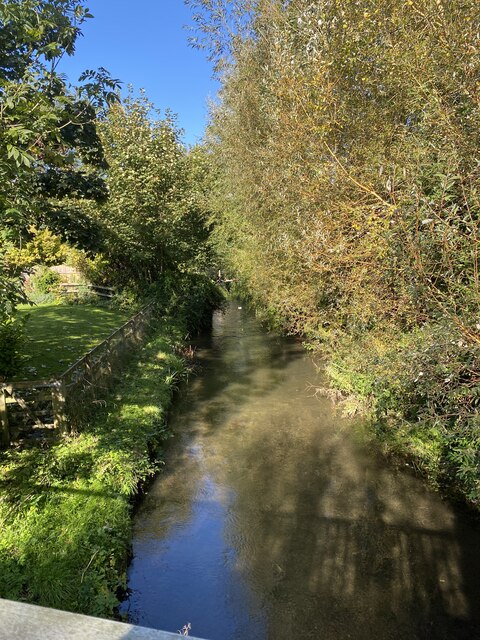
Image: © Alan Hughes Taken: 3 Oct 2024
Better known as the River Thaw. The Welsh name is used only once on OS maps in the river’s entire length. It flows into the Bristol Channel at Aberthaw, the Welsh form of which is perhaps overdue.
Images are licensed for reuse under creativecommons.org/licenses/by-sa/2.0
Image Location
Latitude
51.455754
Longitude
-3.455472