St Andrew's Avenue, Llandudno
Introduction
The photograph on this page of St Andrew's Avenue, Llandudno by Stephen McKay as part of the Geograph project.
The Geograph project started in 2005 with the aim of publishing, organising and preserving representative images for every square kilometre of Great Britain, Ireland and the Isle of Man.

There are currently over 7.5m images from over 14,400 individuals and you can help contribute to the project by visiting https://www.geograph.org.uk
St Andrew's Avenue, Llandudno
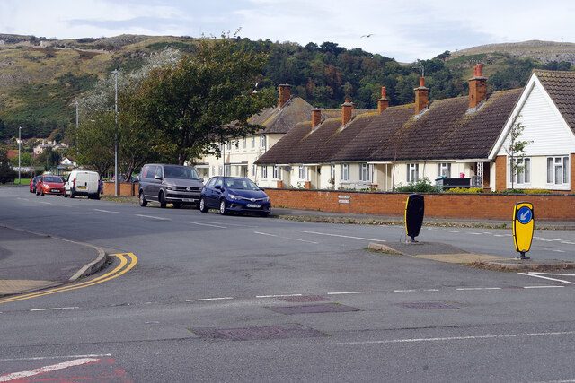
Image: © Stephen McKay Taken: 4 Oct 2024
St Andrew's Avenue is seen here from its junction with Trinity Avenue in the Llandudno suburbs; the Great Orme forms the backdrop. The terrace of bungalows was probably built in the 1950s for elderly people.
Images are licensed for reuse under creativecommons.org/licenses/by-sa/2.0
Image Location
Latitude
53.318549
Longitude
-3.834707