Former Toll House, Over Tabley
Introduction
The photograph on this page of Former Toll House, Over Tabley by Mr Red as part of the Geograph project.
The Geograph project started in 2005 with the aim of publishing, organising and preserving representative images for every square kilometre of Great Britain, Ireland and the Isle of Man.

There are currently over 7.5m images from over 14,400 individuals and you can help contribute to the project by visiting https://www.geograph.org.uk
Former Toll House, Over Tabley
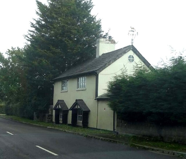
Image: © Mr Red Taken: 6 Oct 2024
On the Eastern side of Chester Road (former A556). It served the Cranage & Warrington Turnpike Trust in the 19ᵗʰ C. Milestone Society National ID: CH.TAB
Images are licensed for reuse under creativecommons.org/licenses/by-sa/2.0
Image Location
Latitude
53.322658
Longitude
-2.413632