Manor Park
Introduction
The photograph on this page of Manor Park by Stephen McKay as part of the Geograph project.
The Geograph project started in 2005 with the aim of publishing, organising and preserving representative images for every square kilometre of Great Britain, Ireland and the Isle of Man.

There are currently over 7.5m images from over 14,400 individuals and you can help contribute to the project by visiting https://www.geograph.org.uk
Manor Park
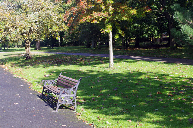
Image: © Stephen McKay Taken: 2 Oct 2024
Autumn colours are beginning to appear in this early October view. Manor Park was formed from the ornamental grounds of a house owned by the Dukes of Norfolk. The house itself has gone but the grounds were opened to the public in 1927.
Images are licensed for reuse under creativecommons.org/licenses/by-sa/2.0
Image Location
Latitude
53.44716
Longitude
-1.939585