Moreton Road, Muscliff, Bournemouth
Introduction
The photograph on this page of Moreton Road, Muscliff, Bournemouth by Malc McDonald as part of the Geograph project.
The Geograph project started in 2005 with the aim of publishing, organising and preserving representative images for every square kilometre of Great Britain, Ireland and the Isle of Man.

There are currently over 7.5m images from over 14,400 individuals and you can help contribute to the project by visiting https://www.geograph.org.uk
Moreton Road, Muscliff, Bournemouth
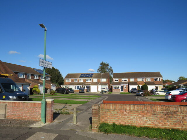
Image: © Malc McDonald Taken: 5 Oct 2024
Moreton Road is a short residential road forming part of a housing development in Muscliff, on the northern outskirts of Bournemouth. Here, the housing development has been designed to enable pedestrians to pass through, but to prevent motor vehicles from using it as a short cut.
Images are licensed for reuse under creativecommons.org/licenses/by-sa/2.0
Image Location
Latitude
50.761444
Longitude
-1.864688