Stream at Bottom Bridge, Abbotskerswell
Introduction
The photograph on this page of Stream at Bottom Bridge, Abbotskerswell by Derek Harper as part of the Geograph project.
The Geograph project started in 2005 with the aim of publishing, organising and preserving representative images for every square kilometre of Great Britain, Ireland and the Isle of Man.

There are currently over 7.5m images from over 14,400 individuals and you can help contribute to the project by visiting https://www.geograph.org.uk
Stream at Bottom Bridge, Abbotskerswell
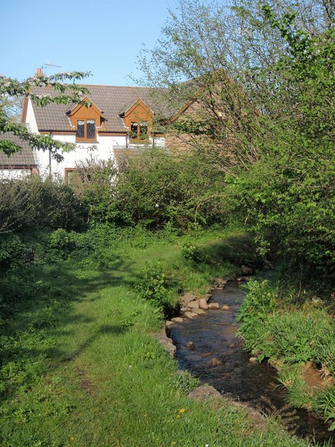
Image: © Derek Harper Taken: 1 May 2008
The stream is almost certainly the main reason that Abbotskerswell is here, but it seems to be nameless. Cress growing in the stream gave the village its name - "kerswell" = "cress spring".
Images are licensed for reuse under creativecommons.org/licenses/by-sa/2.0
Image Location
Latitude
50.50729
Longitude
-3.611416