Clyne Farm camping area
Introduction
The photograph on this page of Clyne Farm camping area by Hywel Williams as part of the Geograph project.
The Geograph project started in 2005 with the aim of publishing, organising and preserving representative images for every square kilometre of Great Britain, Ireland and the Isle of Man.

There are currently over 7.5m images from over 14,400 individuals and you can help contribute to the project by visiting https://www.geograph.org.uk
Clyne Farm camping area
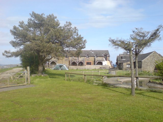
Image: © Hywel Williams Taken: 2 May 2008
The camping area at Clyne Farm. As well as camping you can stay in one of the cottages seen in the picture as well as horse ride and attempt the muddiest assault course in Wales!
Images are licensed for reuse under creativecommons.org/licenses/by-sa/2.0
Image Location
Latitude
51.600028
Longitude
-4.012529