End of the path
Introduction
The photograph on this page of End of the path by Adrian Taylor as part of the Geograph project.
The Geograph project started in 2005 with the aim of publishing, organising and preserving representative images for every square kilometre of Great Britain, Ireland and the Isle of Man.

There are currently over 7.5m images from over 14,400 individuals and you can help contribute to the project by visiting https://www.geograph.org.uk
End of the path
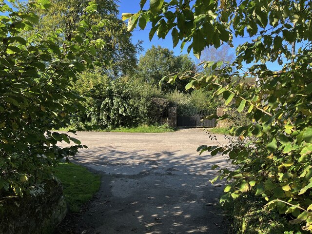
Image: © Adrian Taylor Taken: 17 Sep 2024
This is the northern end of the public footpath from Midtown where it joins Friar Row near Friar Hall. The Caldbeck Alternative route of The Cumbria Way joins the main route here, northbound walkers turning right onto Friar Row (next photograph Image).
Images are licensed for reuse under creativecommons.org/licenses/by-sa/2.0
Image Location
Latitude
54.74977
Longitude
-3.050045