Cutting up the Beefeater
Introduction
The photograph on this page of Cutting up the Beefeater by Neil Owen as part of the Geograph project.
The Geograph project started in 2005 with the aim of publishing, organising and preserving representative images for every square kilometre of Great Britain, Ireland and the Isle of Man.

There are currently over 7.5m images from over 14,400 individuals and you can help contribute to the project by visiting https://www.geograph.org.uk
Cutting up the Beefeater
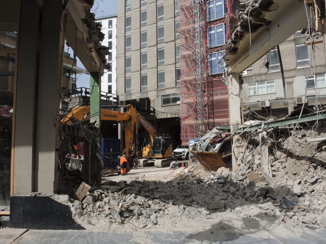
Image: © Neil Owen Taken: 10 Sep 2024
A city centre pub has been chopped in two, as part of a major redevelopment in the area.
Images are licensed for reuse under creativecommons.org/licenses/by-sa/2.0
Image Location


Leaflet Map data © OpenStreetMap
Latitude
51.458801
Longitude
-2.591801