Tilesford Park
Introduction
The photograph on this page of Tilesford Park by Mike Dodman as part of the Geograph project.
The Geograph project started in 2005 with the aim of publishing, organising and preserving representative images for every square kilometre of Great Britain, Ireland and the Isle of Man.

There are currently over 7.5m images from over 14,400 individuals and you can help contribute to the project by visiting https://www.geograph.org.uk
Tilesford Park
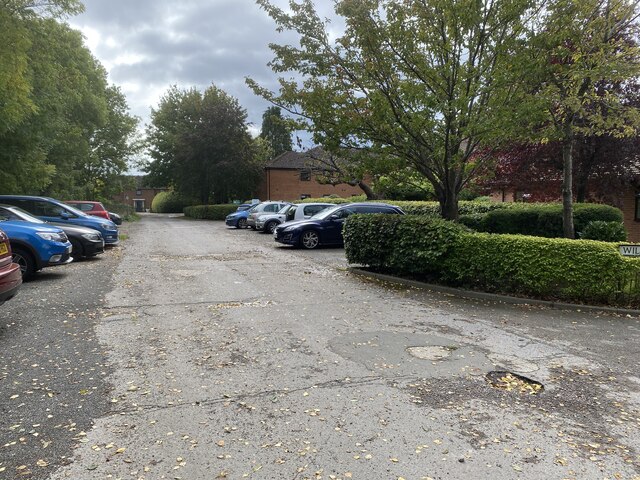
Image: © Mike Dodman Taken: 27 Sep 2024
I can't be certain because the very old (2005) photo https://www.geograph.org.uk/photo/50283 doesn't give a precise location but I suspect it is the same as my photo above. Now known as Tilesford Park, the old MOD housing as shown in 2005, seems to have been demolished and replaced with new housing and a residential care home for the elderly. See also https://www.geograph.org.uk/photo/7884071.
Images are licensed for reuse under creativecommons.org/licenses/by-sa/2.0
Image Location


Leaflet Map data © OpenStreetMap
Latitude
52.147555
Longitude
-2.053881