West of Healing
Introduction
The photograph on this page of West of Healing by Paul Glazzard as part of the Geograph project.
The Geograph project started in 2005 with the aim of publishing, organising and preserving representative images for every square kilometre of Great Britain, Ireland and the Isle of Man.

There are currently over 7.5m images from over 14,400 individuals and you can help contribute to the project by visiting https://www.geograph.org.uk
West of Healing
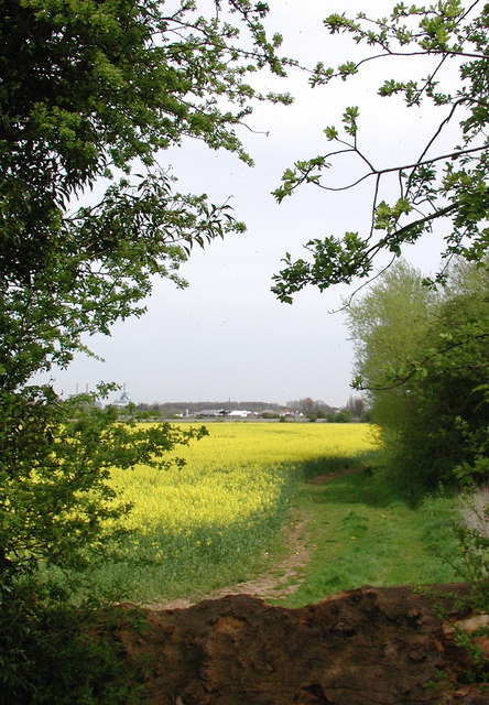
Image: © Paul Glazzard Taken: 3 May 2008
Old field entrance blocked by a felled tree near Buddleia Close, Healing, looking northeast from the footpath between Healing and Stallingborough.
Images are licensed for reuse under creativecommons.org/licenses/by-sa/2.0
Image Location
Latitude
53.579405
Longitude
-0.174631