Above the Trees of Ashplats Wood
Introduction
The photograph on this page of Above the Trees of Ashplats Wood by Barry Hunter as part of the Geograph project.
The Geograph project started in 2005 with the aim of publishing, organising and preserving representative images for every square kilometre of Great Britain, Ireland and the Isle of Man.

There are currently over 7.5m images from over 14,400 individuals and you can help contribute to the project by visiting https://www.geograph.org.uk
Above the Trees of Ashplats Wood
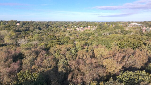
Image: © Barry Hunter Taken: 17 Sep 2024
360 degree pano taken above the tree canopy (30m above ground) of show East Grinstead looking very green.
Images are licensed for reuse under creativecommons.org/licenses/by-sa/2.0
Image Location
Latitude
51.128554
Longitude
0.006494