Arable farmland, Llandow
Introduction
The photograph on this page of Arable farmland, Llandow by eswales as part of the Geograph project.
The Geograph project started in 2005 with the aim of publishing, organising and preserving representative images for every square kilometre of Great Britain, Ireland and the Isle of Man.

There are currently over 7.5m images from over 14,400 individuals and you can help contribute to the project by visiting https://www.geograph.org.uk
Arable farmland, Llandow
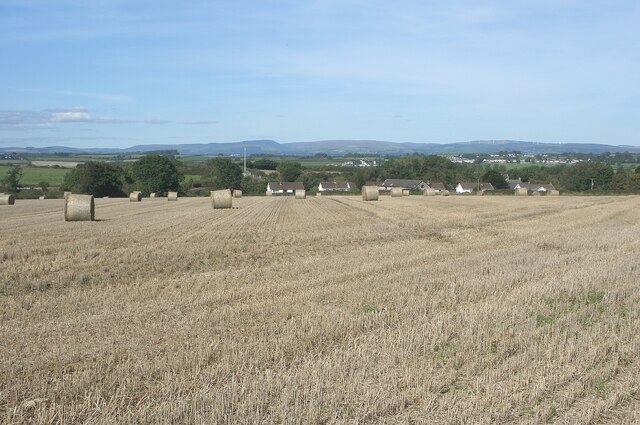
Image: © eswales Taken: 16 Sep 2024
A picture of a recently-harvested field from a spot on the Sutton-Llandow public footpath which also provides good views beyond to the north.
Images are licensed for reuse under creativecommons.org/licenses/by-sa/2.0
Image Location
Latitude
51.446877
Longitude
-3.524264