Stody Estate Farm
Introduction
The photograph on this page of Stody Estate Farm by Evelyn Simak as part of the Geograph project.
The Geograph project started in 2005 with the aim of publishing, organising and preserving representative images for every square kilometre of Great Britain, Ireland and the Isle of Man.

There are currently over 7.5m images from over 14,400 individuals and you can help contribute to the project by visiting https://www.geograph.org.uk
Stody Estate Farm
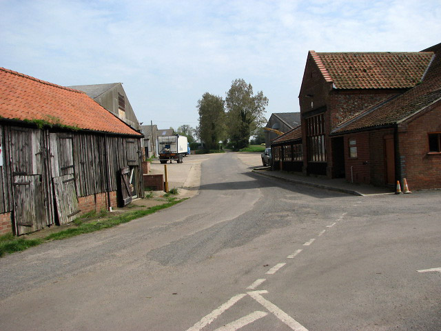
Image: © Evelyn Simak Taken: 4 May 2008
The farm, marked on OS maps as 'Breck Farm', rears pigs, cattle and sheep; crops produced are cereal, potatoes, sugar beet and daffodils > http://www.geograph.org.uk/photo/787279. The farm has created altogether 15 kilometres of permissive footpaths and bridleways in the surrounding area.
Images are licensed for reuse under creativecommons.org/licenses/by-sa/2.0
Image Location
Latitude
52.860516
Longitude
1.076853