Shared-use path below Nedge Hill
Introduction
The photograph on this page of Shared-use path below Nedge Hill by Richard Law as part of the Geograph project.
The Geograph project started in 2005 with the aim of publishing, organising and preserving representative images for every square kilometre of Great Britain, Ireland and the Isle of Man.

There are currently over 7.5m images from over 14,400 individuals and you can help contribute to the project by visiting https://www.geograph.org.uk
Shared-use path below Nedge Hill
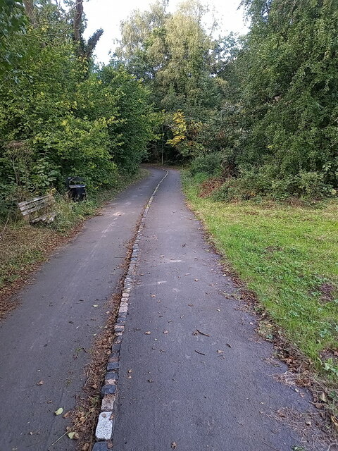
Image: © Richard Law Taken: 13 Sep 2024
A pathway created and maintained by Telford & Wrekin Council, running through a wooded area alongside the A442 Queensway road.
Images are licensed for reuse under creativecommons.org/licenses/by-sa/2.0
Image Location
Latitude
52.665524
Longitude
-2.426989