Track from Boscawen-ûn to Boscawenoon Farm
Introduction
The photograph on this page of Track from Boscawen-ûn to Boscawenoon Farm by Rob Farrow as part of the Geograph project.
The Geograph project started in 2005 with the aim of publishing, organising and preserving representative images for every square kilometre of Great Britain, Ireland and the Isle of Man.

There are currently over 7.5m images from over 14,400 individuals and you can help contribute to the project by visiting https://www.geograph.org.uk
Track from Boscawen-ûn to Boscawenoon Farm
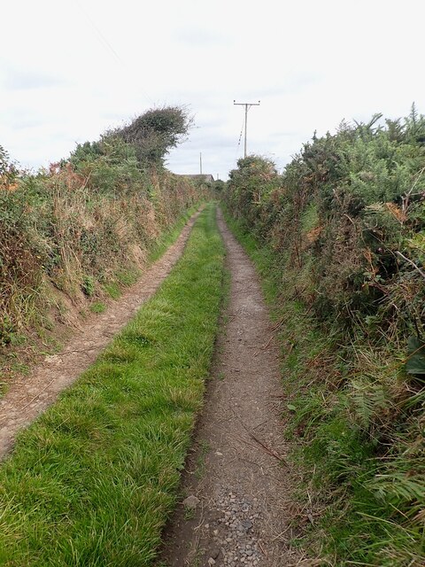
Image: © Rob Farrow Taken: 15 Sep 2024
Looking northeastwards (away from the stone circle) along the track the links Boscawenoon Farm to Image] stone circle. This track is part of a public footpath to the ancient site.
Images are licensed for reuse under creativecommons.org/licenses/by-sa/2.0
Image Location


Leaflet Map data © OpenStreetMap
Latitude
50.091901
Longitude
-5.611455