Golden Brook Enters the Tamworth Road Culvert
Introduction
The photograph on this page of Golden Brook Enters the Tamworth Road Culvert by David Lally as part of the Geograph project.
The Geograph project started in 2005 with the aim of publishing, organising and preserving representative images for every square kilometre of Great Britain, Ireland and the Isle of Man.

There are currently over 7.5m images from over 14,400 individuals and you can help contribute to the project by visiting https://www.geograph.org.uk
Golden Brook Enters the Tamworth Road Culvert
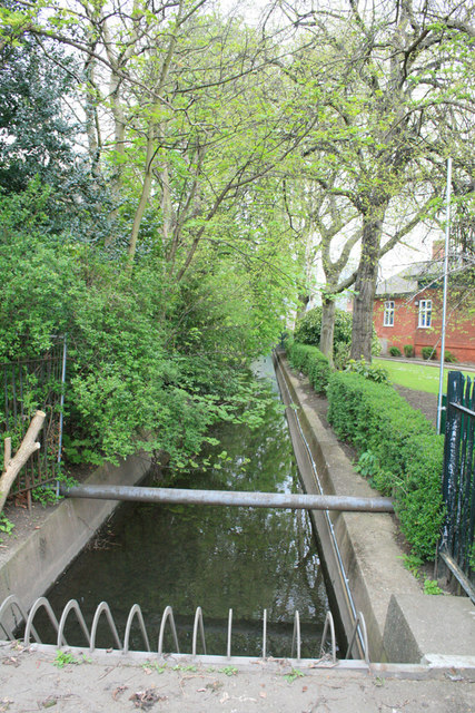
Image: © David Lally Taken: 27 Apr 2008
After passing under the Erewash Canal here Image, Golden Brook is contained in this concrete channel between the Library to the right and the Long Eaton Grammar School building on the left. Thence into this culvert remaining underground for a couple of hundred yards under the flats behind the photographer.
Images are licensed for reuse under creativecommons.org/licenses/by-sa/2.0
Image Location
Latitude
52.895281
Longitude
-1.272933