Bridleway, Stays Lane, near Willingale, Essex
Introduction
The photograph on this page of Bridleway, Stays Lane, near Willingale, Essex by John Winfield as part of the Geograph project.
The Geograph project started in 2005 with the aim of publishing, organising and preserving representative images for every square kilometre of Great Britain, Ireland and the Isle of Man.

There are currently over 7.5m images from over 14,400 individuals and you can help contribute to the project by visiting https://www.geograph.org.uk
Bridleway, Stays Lane, near Willingale, Essex
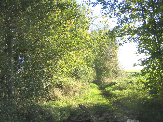
Image: © John Winfield Taken: 14 Nov 2005
This bridleway runs east from Wood Lane. Although it is clearly just a bridleway the OS map shows this as 'Stays Lane'.
Images are licensed for reuse under creativecommons.org/licenses/by-sa/2.0
Image Location
Latitude
51.738526
Longitude
0.333227