Source of the Lea
Introduction
The photograph on this page of Source of the Lea by Alan Simkins as part of the Geograph project.
The Geograph project started in 2005 with the aim of publishing, organising and preserving representative images for every square kilometre of Great Britain, Ireland and the Isle of Man.

There are currently over 7.5m images from over 14,400 individuals and you can help contribute to the project by visiting https://www.geograph.org.uk
Source of the Lea
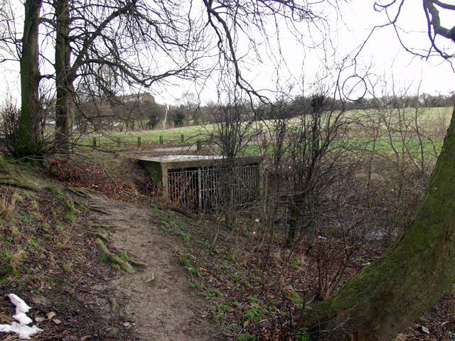
Image: © Alan Simkins Taken: 2 Feb 2003
Hidden away on a council estate in darkest Luton, the Lea begins its journey to Thames in East London from here.
Images are licensed for reuse under creativecommons.org/licenses/by-sa/2.0
Image Location


Leaflet Map data © OpenStreetMap
Latitude
51.908864
Longitude
-0.453215