Public footpath west of Llandow
Introduction
The photograph on this page of Public footpath west of Llandow by eswales as part of the Geograph project.
The Geograph project started in 2005 with the aim of publishing, organising and preserving representative images for every square kilometre of Great Britain, Ireland and the Isle of Man.

There are currently over 7.5m images from over 14,400 individuals and you can help contribute to the project by visiting https://www.geograph.org.uk
Public footpath west of Llandow
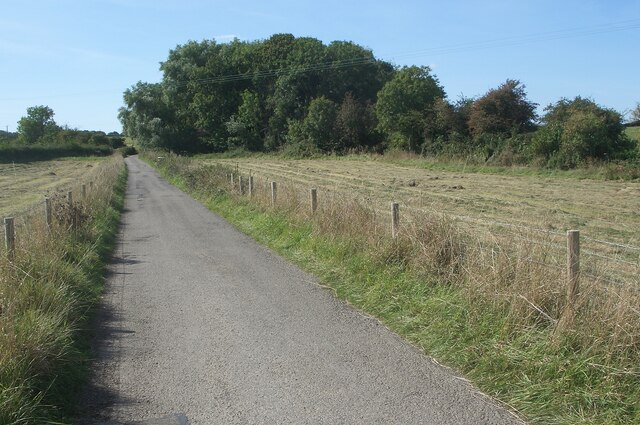
Image: © eswales Taken: 16 Sep 2024
A public footpath between Llandow and Wick passes along part of a lane between Llandow and Clemenstone, including the stretch seen here.
Images are licensed for reuse under creativecommons.org/licenses/by-sa/2.0
Image Location
Latitude
51.44668
Longitude
-3.53246