Former Lodge at Ince Cemetery, Warrington Road, Lower Ince
Introduction
The photograph on this page of Former Lodge at Ince Cemetery, Warrington Road, Lower Ince by David Long as part of the Geograph project.
The Geograph project started in 2005 with the aim of publishing, organising and preserving representative images for every square kilometre of Great Britain, Ireland and the Isle of Man.

There are currently over 7.5m images from over 14,400 individuals and you can help contribute to the project by visiting https://www.geograph.org.uk
Former Lodge at Ince Cemetery, Warrington Road, Lower Ince
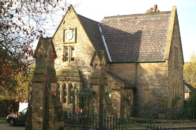
Image: © David Long Taken: 14 Nov 2005
The lodge is now a private dwelling. The Cemetery was formerly that of the now defunct Ince Urban District Council, passing to the Metropolitan Borough of Wigan in 1974.
Images are licensed for reuse under creativecommons.org/licenses/by-sa/2.0
Image Location


Leaflet Map data © OpenStreetMap
Latitude
53.531961
Longitude
-2.617002