Coundmoor Brook / Bullhill Brook at Evenwood
Introduction
The photograph on this page of Coundmoor Brook / Bullhill Brook at Evenwood by TCExplorer as part of the Geograph project.
The Geograph project started in 2005 with the aim of publishing, organising and preserving representative images for every square kilometre of Great Britain, Ireland and the Isle of Man.

There are currently over 7.5m images from over 14,400 individuals and you can help contribute to the project by visiting https://www.geograph.org.uk
Coundmoor Brook / Bullhill Brook at Evenwood
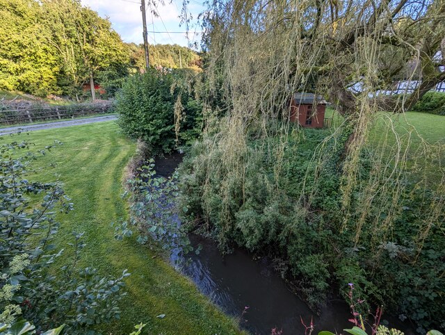
Image: © TCExplorer Taken: 11 Sep 2024
Confusingly, OS mapping appears to have two names for this water course, and I'm not clear when it changes: * Coundmoor Brook or *Bullhill Brook
Images are licensed for reuse under creativecommons.org/licenses/by-sa/2.0
Image Location
Latitude
52.616788
Longitude
-2.663722