St John?s Road Methodist United Reformed Church
Introduction
The photograph on this page of St John?s Road Methodist United Reformed Church by Alan Walker as part of the Geograph project.
The Geograph project started in 2005 with the aim of publishing, organising and preserving representative images for every square kilometre of Great Britain, Ireland and the Isle of Man.

There are currently over 7.5m images from over 14,400 individuals and you can help contribute to the project by visiting https://www.geograph.org.uk
St John?s Road Methodist United Reformed Church
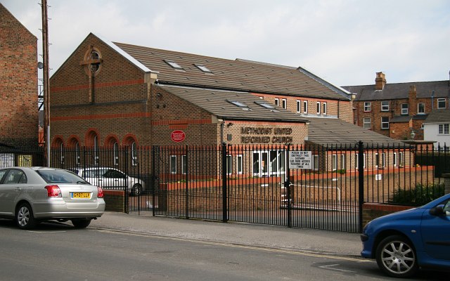
Image: © Alan Walker Taken: 9 Apr 2008
The photograph, which was taken from Image near its Image (a few metres to the right). The white building on the right is situated on Rosevale Terrace and the houses beyond on Commercial Street.
Images are licensed for reuse under creativecommons.org/licenses/by-sa/2.0
Image Location
Latitude
54.277568
Longitude
-0.41439