Gate and stile at West End, Marloes
Introduction
The photograph on this page of Gate and stile at West End, Marloes by M J Roscoe as part of the Geograph project.
The Geograph project started in 2005 with the aim of publishing, organising and preserving representative images for every square kilometre of Great Britain, Ireland and the Isle of Man.

There are currently over 7.5m images from over 14,400 individuals and you can help contribute to the project by visiting https://www.geograph.org.uk
Gate and stile at West End, Marloes
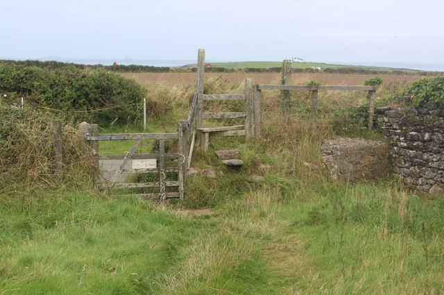
Image: © M J Roscoe Taken: 3 Sep 2024
The public footpath from the road next to 4 West End goes to Marloes Court Farm. Why a gate and stile? The sign on the other side of the gate says, 'Marloes Sands' next to an upright arrow.
Images are licensed for reuse under creativecommons.org/licenses/by-sa/2.0
Image Location
Latitude
51.732307
Longitude
-5.203147