Penrhyn Hill
Introduction
The photograph on this page of Penrhyn Hill by Stephen McKay as part of the Geograph project.
The Geograph project started in 2005 with the aim of publishing, organising and preserving representative images for every square kilometre of Great Britain, Ireland and the Isle of Man.

There are currently over 7.5m images from over 14,400 individuals and you can help contribute to the project by visiting https://www.geograph.org.uk
Penrhyn Hill
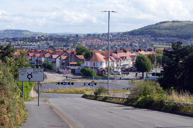
Image: © Stephen McKay Taken: 3 Sep 2024
The B5115 leads down quite steeply to the roundabout in Penrhyn Bay - this could be tricky to negotiate in icy conditions. The main route bears off to the right offering a more direct way to Colwyn Bay but the alternative coastal route through Rhos-on-Sea gets there in the end.
Images are licensed for reuse under creativecommons.org/licenses/by-sa/2.0
Image Location
Latitude
53.317989
Longitude
-3.776733