Catchwater stream at Smiddy Shaw
Introduction
The photograph on this page of Catchwater stream at Smiddy Shaw by Robert Graham as part of the Geograph project.
The Geograph project started in 2005 with the aim of publishing, organising and preserving representative images for every square kilometre of Great Britain, Ireland and the Isle of Man.

There are currently over 7.5m images from over 14,400 individuals and you can help contribute to the project by visiting https://www.geograph.org.uk
Catchwater stream at Smiddy Shaw
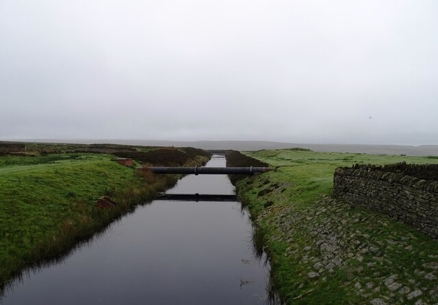
Image: © Robert Graham Taken: 20 May 2024
I think this stream is used to catch water from the hillsides and feed it into the reservoir at Smiddy Shaw. It also connects to the nearby Hisehope Reservoir so perhaps regulates water levels between the two.
Images are licensed for reuse under creativecommons.org/licenses/by-sa/2.0
Image Location
Latitude
54.811727
Longitude
-1.940843