Ennerdale viewed from near Kirkland
Introduction
The photograph on this page of Ennerdale viewed from near Kirkland by Philip Halling as part of the Geograph project.
The Geograph project started in 2005 with the aim of publishing, organising and preserving representative images for every square kilometre of Great Britain, Ireland and the Isle of Man.

There are currently over 7.5m images from over 14,400 individuals and you can help contribute to the project by visiting https://www.geograph.org.uk
Ennerdale viewed from near Kirkland
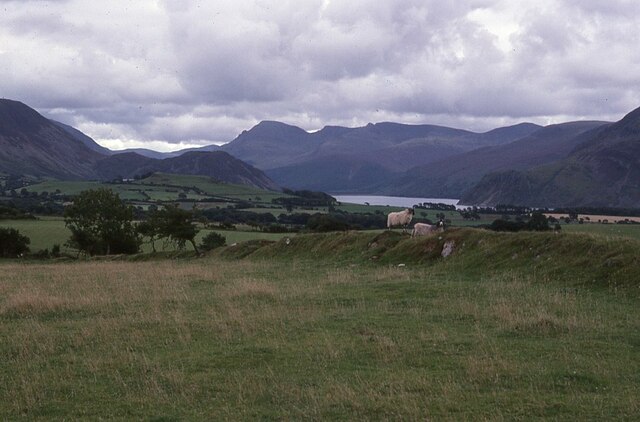
Image: © Philip Halling Taken: 8 Sep 1977
View over farmland into Ennerdale. The lower fall to the left of thelake is Bowness Knott with Pillar almost directly above prominent on the horizon.
Images are licensed for reuse under creativecommons.org/licenses/by-sa/2.0
Image Location
Latitude
54.543326
Longitude
-3.435677