Winwick Dry Dock on the Sankey/ St Helens Canal
Introduction
The photograph on this page of Winwick Dry Dock on the Sankey/ St Helens Canal by David Long as part of the Geograph project.
The Geograph project started in 2005 with the aim of publishing, organising and preserving representative images for every square kilometre of Great Britain, Ireland and the Isle of Man.

There are currently over 7.5m images from over 14,400 individuals and you can help contribute to the project by visiting https://www.geograph.org.uk
Winwick Dry Dock on the Sankey/ St Helens Canal
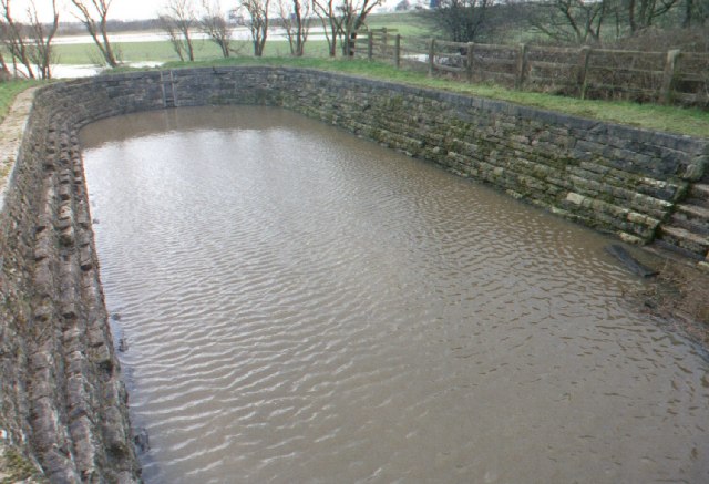
Image: © David Long Taken: Unknown
The lock is normally dry - but when there is heavy rainfall and a high tide on the Mersey, the water backs up the Sankey Brook, and reaches a level where water flows into the sluice through which it used to drain off into the Brook.
Images are licensed for reuse under creativecommons.org/licenses/by-sa/2.0
Image Location
Latitude
53.419635
Longitude
-2.61086