Disused Railway Track, North of Sherburn
Introduction
The photograph on this page of Disused Railway Track, North of Sherburn by Uncredited as part of the Geograph project.
The Geograph project started in 2005 with the aim of publishing, organising and preserving representative images for every square kilometre of Great Britain, Ireland and the Isle of Man.

There are currently over 7.5m images from over 14,400 individuals and you can help contribute to the project by visiting https://www.geograph.org.uk
Disused Railway Track, North of Sherburn
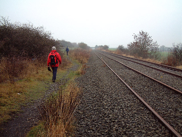
Image: © Uncredited Taken: 3 Dec 2003
There is a long section of disused railway line running from Sunderland, through Washington and Sherburn (the road bridge West of Sherburn is seen in the distance). It has obviously been out of use for some time.
Images are licensed for reuse under creativecommons.org/licenses/by-sa/2.0
Image Location


Leaflet Map data © OpenStreetMap
Latitude
54.782765
Longitude
-1.513428