Bromley Road
Introduction
The photograph on this page of Bromley Road by Glyn Baker as part of the Geograph project.
The Geograph project started in 2005 with the aim of publishing, organising and preserving representative images for every square kilometre of Great Britain, Ireland and the Isle of Man.

There are currently over 7.5m images from over 14,400 individuals and you can help contribute to the project by visiting https://www.geograph.org.uk
Bromley Road
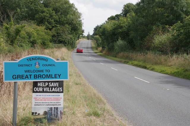
Image: © Glyn Baker Taken: 30 Aug 2024
Looking towards Hare Green. There are plans for a more than 200 acre electricity substation near here. The people don't like it but unless the national grid is upgraded there will not be enough electrons in the system to charge all the electric vehicles that will be on the roads soon.
Images are licensed for reuse under creativecommons.org/licenses/by-sa/2.0
Image Location
Latitude
51.881725
Longitude
1.012288