Footpath stairway down into Loamhole Dingle
Introduction
The photograph on this page of Footpath stairway down into Loamhole Dingle by Andrew Shannon as part of the Geograph project.
The Geograph project started in 2005 with the aim of publishing, organising and preserving representative images for every square kilometre of Great Britain, Ireland and the Isle of Man.

There are currently over 7.5m images from over 14,400 individuals and you can help contribute to the project by visiting https://www.geograph.org.uk
Footpath stairway down into Loamhole Dingle
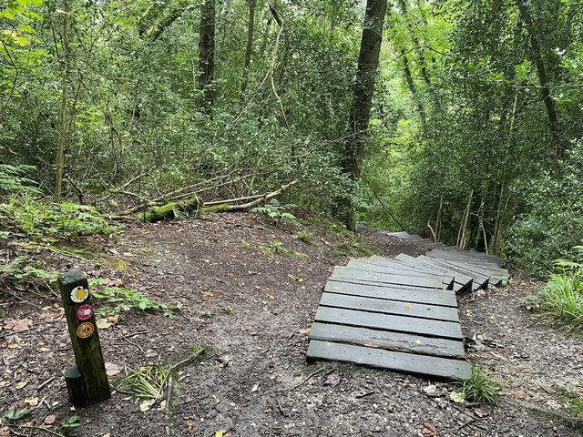
Image: © Andrew Shannon Taken: 3 Sep 2024
Some very impressive steps here and a steep descent into this lovely woodland area. The steps were well made but looked slippy, so much care was taken whilst descending.
Images are licensed for reuse under creativecommons.org/licenses/by-sa/2.0
Image Location


Leaflet Map data © OpenStreetMap
Latitude
52.648069
Longitude
-2.499687