Howgill Fells seen from Moor House
Introduction
The photograph on this page of Howgill Fells seen from Moor House by Richard Webb as part of the Geograph project.
The Geograph project started in 2005 with the aim of publishing, organising and preserving representative images for every square kilometre of Great Britain, Ireland and the Isle of Man.

There are currently over 7.5m images from over 14,400 individuals and you can help contribute to the project by visiting https://www.geograph.org.uk
Howgill Fells seen from Moor House
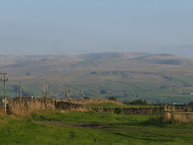
Image: © Richard Webb Taken: 31 Aug 2024
The dyke by the power lines is the boundary of the Yorkshire Dales National Park which now includes a big chunk of Westmorland. Now to get Nidderdale in. Evening light on the north side of the Howgill Fells.
Images are licensed for reuse under creativecommons.org/licenses/by-sa/2.0
Image Location
Latitude
54.463159
Longitude
-2.605015