Commerans Farm Lane, St Just in Roseland
Introduction
The photograph on this page of Commerans Farm Lane, St Just in Roseland by Rabbi WP Thinrod as part of the Geograph project.
The Geograph project started in 2005 with the aim of publishing, organising and preserving representative images for every square kilometre of Great Britain, Ireland and the Isle of Man.

There are currently over 7.5m images from over 14,400 individuals and you can help contribute to the project by visiting https://www.geograph.org.uk
Commerans Farm Lane, St Just in Roseland
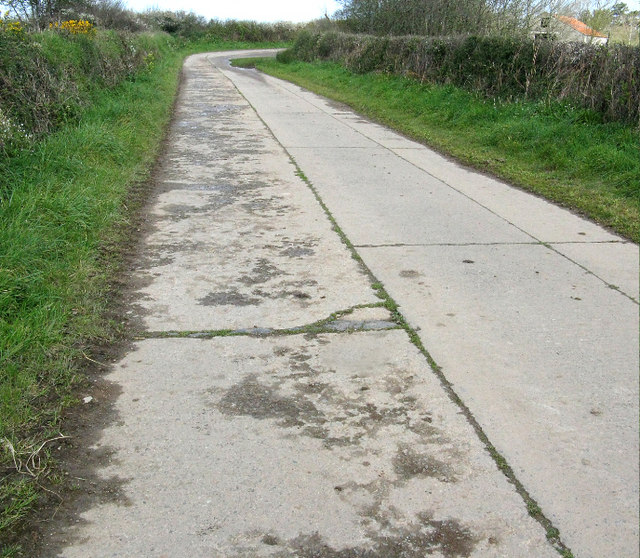
Image: © Rabbi WP Thinrod Taken: 24 Apr 2008
The road was built by a local contractor during WWII to provide access to the Turnaware Point embarkation jetties code named "Dolphins". The left hand section shows a scheme to widen the road, carried out by the US Army Corps of Transportation, to ease traffic jams . Local sources point out that the Americans used inferior concrete composed mainly of large hardcore. Certainly the Cornish version has better stood the test of time.
Images are licensed for reuse under creativecommons.org/licenses/by-sa/2.0
Image Location
Latitude
50.196379
Longitude
-5.025411