Restricted Byway at Lower Sydnall
Introduction
The photograph on this page of Restricted Byway at Lower Sydnall by John M as part of the Geograph project.
The Geograph project started in 2005 with the aim of publishing, organising and preserving representative images for every square kilometre of Great Britain, Ireland and the Isle of Man.

There are currently over 7.5m images from over 14,400 individuals and you can help contribute to the project by visiting https://www.geograph.org.uk
Restricted Byway at Lower Sydnall
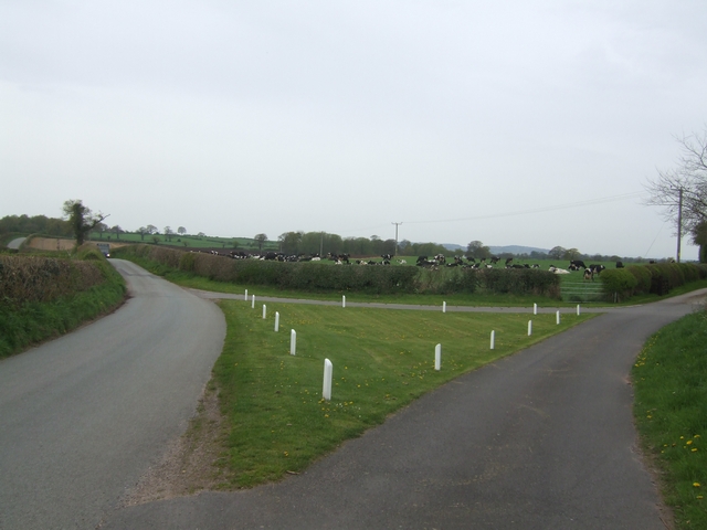
Image: © John M Taken: 3 May 2008
The byway leads across the fields to Old Colehurst Manor.
Images are licensed for reuse under creativecommons.org/licenses/by-sa/2.0
Image Location
Latitude
52.867619
Longitude
-2.472051