Main road coming into Stanhope from the east
Introduction
The photograph on this page of Main road coming into Stanhope from the east by Robert Graham as part of the Geograph project.
The Geograph project started in 2005 with the aim of publishing, organising and preserving representative images for every square kilometre of Great Britain, Ireland and the Isle of Man.

There are currently over 7.5m images from over 14,400 individuals and you can help contribute to the project by visiting https://www.geograph.org.uk
Main road coming into Stanhope from the east
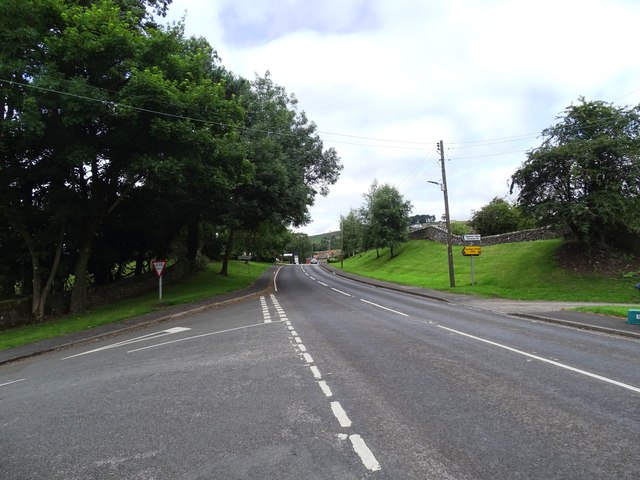
Image: © Robert Graham Taken: 23 Jul 2024
Looking west along the A689, the main road along Weardale. This is at the east end of the village.
Images are licensed for reuse under creativecommons.org/licenses/by-sa/2.0
Image Location
Latitude
54.741736
Longitude
-1.996706