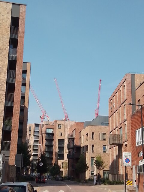
Mary Neuner Road Wood Green N8
Introduction
The photograph on this page of Mary Neuner Road Wood Green N8 by John Kingdon as part of the Geograph project.
The Geograph project started in 2005 with the aim of publishing, organising and preserving representative images for every square kilometre of Great Britain, Ireland and the Isle of Man.
There are currently over 7.5m images from over 14,400 individuals and you can help contribute to the project by visiting https://www.geograph.org.uk

Image: © John Kingdon Taken: 1 Sep 2024
See my photo Image] for a view from the opposite end of this new road within the 'Clarendon Village' development on the site of the old gas works. The narrowness of the road and the tallness of the buildings give the development an oppressive feel to my mind. But the sky is blue and people are out walking on a warm summer's day. The three red cranes brought to my mind a symbolic meaning but more prosaically indicate that work goes on in building the supposed village.

