Ellenbrook Crescent
Introduction
The photograph on this page of Ellenbrook Crescent by Des Blenkinsopp as part of the Geograph project.
The Geograph project started in 2005 with the aim of publishing, organising and preserving representative images for every square kilometre of Great Britain, Ireland and the Isle of Man.

There are currently over 7.5m images from over 14,400 individuals and you can help contribute to the project by visiting https://www.geograph.org.uk
Ellenbrook Crescent
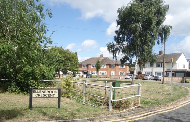
Image: © Des Blenkinsopp Taken: 25 Aug 2024
A semi circle of houses at the centre of the Ellenbrook neighbourhood on the western side of Hatfield. In the foreground a small stream, presumably the Ellen Brook is culverted under the road. What looks like a water level monitor cabinet is by the railings.
Images are licensed for reuse under creativecommons.org/licenses/by-sa/2.0
Image Location
Latitude
51.758281
Longitude
-0.250005