Grangecliffe Gardens
Introduction
The photograph on this page of Grangecliffe Gardens by Ian Capper as part of the Geograph project.
The Geograph project started in 2005 with the aim of publishing, organising and preserving representative images for every square kilometre of Great Britain, Ireland and the Isle of Man.

There are currently over 7.5m images from over 14,400 individuals and you can help contribute to the project by visiting https://www.geograph.org.uk
Grangecliffe Gardens
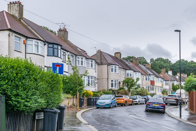
Image: © Ian Capper Taken: 6 Jul 2024
Cul de sac off Grange Hill first marked on the 1934 25" map.
Images are licensed for reuse under creativecommons.org/licenses/by-sa/2.0
Image Location
Latitude
51.407403
Longitude
-0.08833