A30 at Brook Waters
Introduction
The photograph on this page of A30 at Brook Waters by Derek Harper as part of the Geograph project.
The Geograph project started in 2005 with the aim of publishing, organising and preserving representative images for every square kilometre of Great Britain, Ireland and the Isle of Man.

There are currently over 7.5m images from over 14,400 individuals and you can help contribute to the project by visiting https://www.geograph.org.uk
A30 at Brook Waters
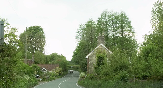
Image: © Derek Harper Taken: 9 May 2024
The main road passes cottages in the hamlet in the Ferne Brook valley. The parish boundary between Donhead St Andrew (right) and Donhead St Mart joins the road here from the left and follows it for 300 metres.
Images are licensed for reuse under creativecommons.org/licenses/by-sa/2.0
Image Location
Latitude
51.009923
Longitude
-2.117828