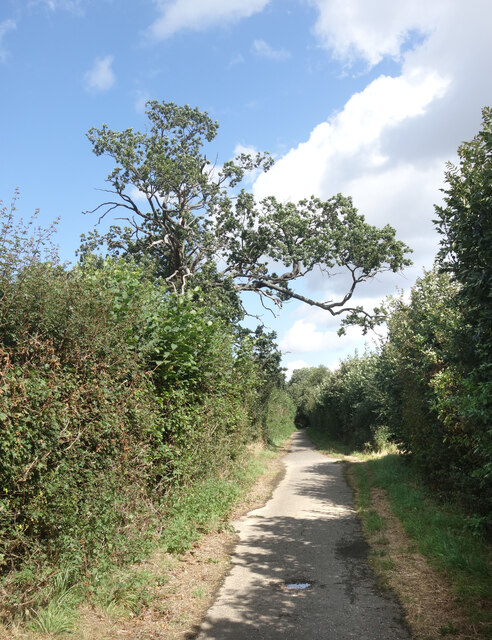
Wilkins Green Lane
Introduction
The photograph on this page of Wilkins Green Lane by Des Blenkinsopp as part of the Geograph project.
The Geograph project started in 2005 with the aim of publishing, organising and preserving representative images for every square kilometre of Great Britain, Ireland and the Isle of Man.
There are currently over 7.5m images from over 14,400 individuals and you can help contribute to the project by visiting https://www.geograph.org.uk

Image: © Des Blenkinsopp Taken: 25 Aug 2024
Crossing the narrow strip of rural countryside that still just about separates the outer suburbs of Hatfield and St Albans, Wilkins Green Lane was probably once an over used short cut avoiding the main road. It looks far too narrow to deal with modern traffic, which was no doubt why this section was closed to vehicles. It's now just a path and cycleway.

