Charnwood Road
Introduction
The photograph on this page of Charnwood Road by Ian Capper as part of the Geograph project.
The Geograph project started in 2005 with the aim of publishing, organising and preserving representative images for every square kilometre of Great Britain, Ireland and the Isle of Man.

There are currently over 7.5m images from over 14,400 individuals and you can help contribute to the project by visiting https://www.geograph.org.uk
Charnwood Road
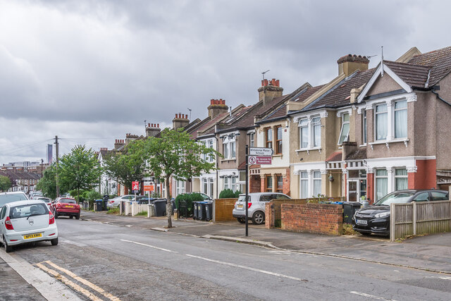
Image: © Ian Capper Taken: 6 Jul 2024
Houses on Charnwood Road. The road itself is marked on the 1896 1:1056 map but without development; although most of the road is then shown with houses on the 1913 25" map, the ones here are not shown until the 1934 edition.
Images are licensed for reuse under creativecommons.org/licenses/by-sa/2.0
Image Location
Latitude
51.396361
Longitude
-0.090602