Weston village centre
Introduction
The photograph on this page of Weston village centre by Espresso Addict as part of the Geograph project.
The Geograph project started in 2005 with the aim of publishing, organising and preserving representative images for every square kilometre of Great Britain, Ireland and the Isle of Man.

There are currently over 7.5m images from over 14,400 individuals and you can help contribute to the project by visiting https://www.geograph.org.uk
Weston village centre
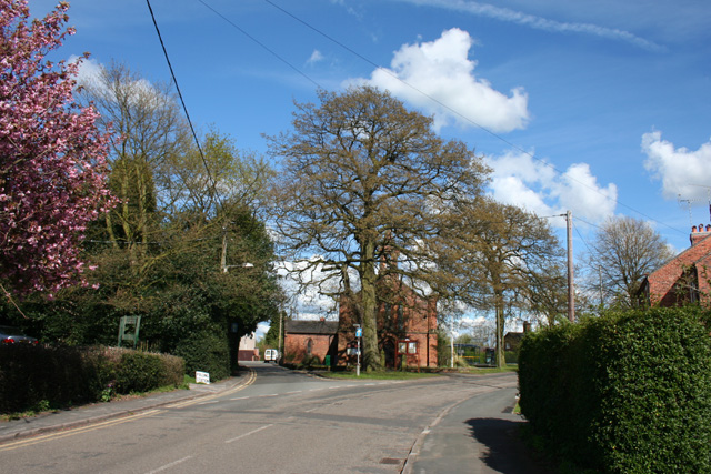
Image: © Espresso Addict Taken: 1 May 2008
The Church of All Saints is in the centre of the picture. The village hall (acting as polling station) is on the left
Images are licensed for reuse under creativecommons.org/licenses/by-sa/2.0
Image Location
Latitude
53.066455
Longitude
-2.400651