River Calder at the site of the former Ha'penny Bridge
Introduction
The photograph on this page of River Calder at the site of the former Ha'penny Bridge by Richard Kay as part of the Geograph project.
The Geograph project started in 2005 with the aim of publishing, organising and preserving representative images for every square kilometre of Great Britain, Ireland and the Isle of Man.

There are currently over 7.5m images from over 14,400 individuals and you can help contribute to the project by visiting https://www.geograph.org.uk
River Calder at the site of the former Ha'penny Bridge
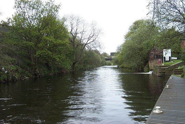
Image: © Richard Kay Taken: 3 May 2008
The Ha'penny bridge (so-called because of the Toll) crossed the river next to the entrance to the Brighouse Lock on the right. The bridge abutments on both sides of the river are still visible. Huddersfield Road Bridge over the Calder can be seen in the distance
Images are licensed for reuse under creativecommons.org/licenses/by-sa/2.0
Image Location
Latitude
53.699448
Longitude
-1.775949