Longlands Lake
Introduction
The photograph on this page of Longlands Lake by Tom Pullman as part of the Geograph project.
The Geograph project started in 2005 with the aim of publishing, organising and preserving representative images for every square kilometre of Great Britain, Ireland and the Isle of Man.

There are currently over 7.5m images from over 14,400 individuals and you can help contribute to the project by visiting https://www.geograph.org.uk
Longlands Lake
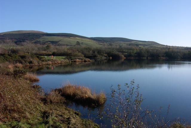
Image: © Tom Pullman Taken: 13 Nov 2005
Longlands Lake was created (more recently than 1940 going on the old OS map) by the gradual subsidence of the thoroughly undermined ground here - not a bad thing at all really, as it's now a local beauty spot and a haven for waterfowl.
Images are licensed for reuse under creativecommons.org/licenses/by-sa/2.0
Image Location
Latitude
54.499982
Longitude
-3.525577