Unmarked field path
Introduction
The photograph on this page of Unmarked field path by Kevin Waterhouse as part of the Geograph project.
The Geograph project started in 2005 with the aim of publishing, organising and preserving representative images for every square kilometre of Great Britain, Ireland and the Isle of Man.

There are currently over 7.5m images from over 14,400 individuals and you can help contribute to the project by visiting https://www.geograph.org.uk
Unmarked field path
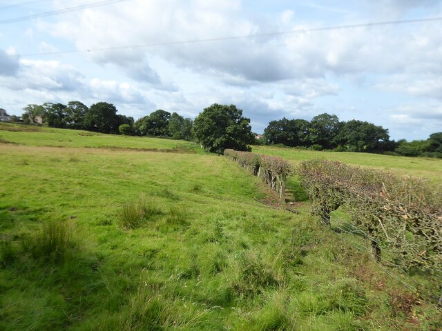
Image: © Kevin Waterhouse Taken: 17 Aug 2024
The path links the named route Middlewood Way (a former railway) with Threaphurst Lane. The path continues the other side of the former railway to some redundant filter beds.
Images are licensed for reuse under creativecommons.org/licenses/by-sa/2.0
Image Location
Latitude
53.369303
Longitude
-2.086077