Eastlands Road, Rothesay
Introduction
The photograph on this page of Eastlands Road, Rothesay by Thomas Nugent as part of the Geograph project.
The Geograph project started in 2005 with the aim of publishing, organising and preserving representative images for every square kilometre of Great Britain, Ireland and the Isle of Man.

There are currently over 7.5m images from over 14,400 individuals and you can help contribute to the project by visiting https://www.geograph.org.uk
Eastlands Road, Rothesay
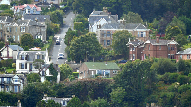
Image: © Thomas Nugent Taken: 22 Aug 2024
A steep hill which leads to Canada Hill and the top of the Serpentine Brae. Viewed from a ferry approaching Rothesay.
Images are licensed for reuse under creativecommons.org/licenses/by-sa/2.0
Image Location
Latitude
55.842714
Longitude
-5.026872