Church of St Helen, Stillingfleet
Introduction
The photograph on this page of Church of St Helen, Stillingfleet by Alan Murray-Rust as part of the Geograph project.
The Geograph project started in 2005 with the aim of publishing, organising and preserving representative images for every square kilometre of Great Britain, Ireland and the Isle of Man.

There are currently over 7.5m images from over 14,400 individuals and you can help contribute to the project by visiting https://www.geograph.org.uk
Church of St Helen, Stillingfleet
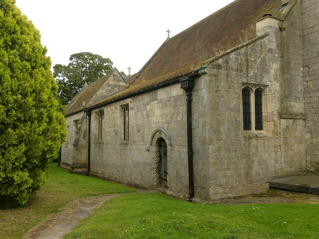
Image: © Alan Murray-Rust Taken: 19 Aug 2024
North side of the church. The end wall shows evidence of the 13th and/or 15th century rebuilding of the aisle, the original having a much steeper pitch in line with the nave roof. The original Norman west wall of the nave is identified by the remaining section of string course.
Images are licensed for reuse under creativecommons.org/licenses/by-sa/2.0
Image Location
Latitude
53.861929
Longitude
-1.099517