Davidson Road
Introduction
The photograph on this page of Davidson Road by Ian Capper as part of the Geograph project.
The Geograph project started in 2005 with the aim of publishing, organising and preserving representative images for every square kilometre of Great Britain, Ireland and the Isle of Man.

There are currently over 7.5m images from over 14,400 individuals and you can help contribute to the project by visiting https://www.geograph.org.uk
Davidson Road
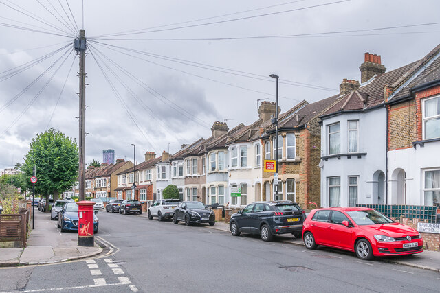
Image: © Ian Capper Taken: 6 Jul 2024
Housing on Davidson Road, with the nearest ones first marked on the 1897 25" map when this section of the road was named Albert Road. Note the "anonymous" postbox on the left - see Image for a close up.
Images are licensed for reuse under creativecommons.org/licenses/by-sa/2.0
Image Location
Latitude
51.384688
Longitude
-0.086748