Orient Close, St Albans
Introduction
The photograph on this page of Orient Close, St Albans by Des Blenkinsopp as part of the Geograph project.
The Geograph project started in 2005 with the aim of publishing, organising and preserving representative images for every square kilometre of Great Britain, Ireland and the Isle of Man.

There are currently over 7.5m images from over 14,400 individuals and you can help contribute to the project by visiting https://www.geograph.org.uk
Orient Close, St Albans
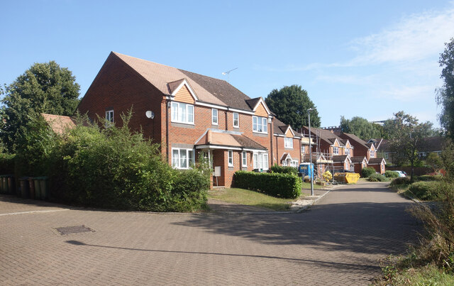
Image: © Des Blenkinsopp Taken: 25 Aug 2024
Housing beside the Alban Way, a cycle path along an old railway line between Hatfield and St Albans.
Images are licensed for reuse under creativecommons.org/licenses/by-sa/2.0
Image Location
Latitude
51.744419
Longitude
-0.329341